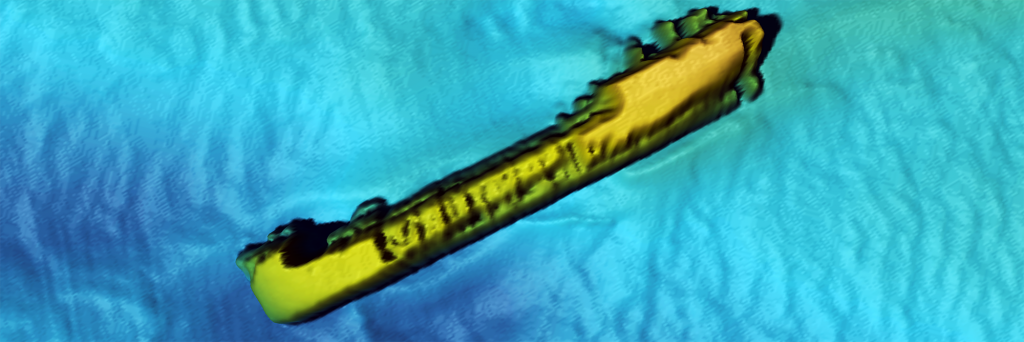
Geophysical Services
A geophysical survey is used to create maps of subsurface archaeological features and is becoming an increasingly common request for Maritime Archaeology Ltd.
We offer a geophysical survey data analysis service that includes comprehensive interpretation and reporting. As well as utilising our technology capability, you will benefit from our extensive experience in the use of marine geophysics for archaeological assessment purposes, including the required specification for surveys.
We recommend you seek our advice prior to commissioning a survey as this will require an archaeological assessment to ensure the data is fit for purpose and minimise the risk of having to repeat surveys.