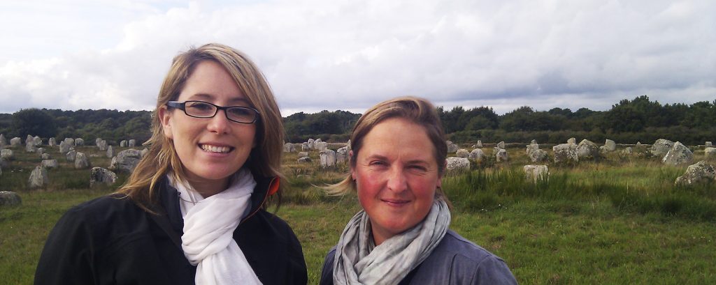
Archaeologists at Carnac
Arch-Manche Project
We were commissioned by the INTERREG IVa funded Arch-Manche project to provide services to demonstrate how archaeology, art and maritime coastal heritage can be used to show long-term patterns of coastal change and the impact on human settlement.
Working alongside the Centre National de la Recherche Scientifique (CNRS, France), the University of Ghent (Belgium) and Deltares (the Netherlands), our HSE compliant diving team were sought for marine field investigations of archaeological sites and submerged landscapes to identify features and deposits.
Secondly, we integrated a range of geoarchaeological data sources in order to scope, design and instigate a shared project database and innovative, bespoke project viewer. This cross-channel viewer is a key output of the project, demonstrating that modern technology, archaeology and art can be used together as quantifying tools to support our understanding of coastal climate change in the waters between the UK, France, Belgium and the Netherlands.
The results were incorporated with ‘Integrated Coastal Zone Management’ by informing sustainable policies for adapting to coastal climate change while presenting an exemplar for further international cooperation.
Explore the results on the geoportal http: Arch Manche – Arch-Manche (maritimearchaeologytrust.org)
Download the final report from http://archmanche.maritimearchaeologytrust.org/downloads
Other technical and digital services we provide include;
-3D modelling
-Visualisation
-Database development
-Photogrammetry
